top of page

BIKEPACKING ROADTRIP
In June 2025, I cycled from my France to Albania and crossed Italy, Slovenia, Croatia and Montenegro. I finally stopped in Pisa, where I would not have imagined ending a month before.
Through this journey I went through many roads and villages. And while my GPS was recording all my path, I decided that I would work my roadtrip memories around that, with Virtual reality, gaussian splats, pictures, GIS datas and photogrametry.
Here we are.

GPX datas
With my GPS records I could export GPX files (GPS eXchange format), keeping the detailed track of all my way for 2600 km. I used Open Street Map databases and free and open source tools to re-create a mapping of my journey and of all my stages.

Photogrametry / Gaussian Splatting
Photogrametry and Gaussian Splatting are two technologies allowing the creation of 3D objects and environment from a large source of images.
Beyound a large set of images, I decided to capture moments in 3D using these two technologies.

GIS Elevation Layer
With the use of Open Street Map, the free and open data mapping solution and the Nasa SRTM (Shuttle Radar Topography Mission) elevation datas, made public domain, I could create terrain topographic elements for each zone.
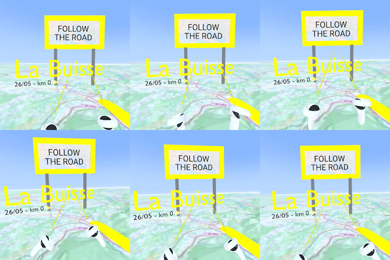
Immersive Experience (VR & Desktop)
As an immersive storytelling freelancer creating a VR experience out of my journey and all the materials collected (pictures, elevation datas, 3D captures) is natural.
This VR experience will bring you to follow the whole map and the whole road. It is freely accessible online in WebXR for most VR users. The experience is also accesible for a desktop mode in PC.

Augmented Reality
The GIS Elevation Layer are accessible for an Augmented Reality display and exploration using Google's open-source model-viewer solution.
THIS PROJECT WAS MADE WITH THE FREE AND OPEN SOFTWARES
bottom of page